NASA Catalog: 38735

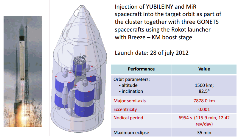
The light-weight launcher lifted off on July 28, 2012, at 05:35:00 Moscow Time (01:35 GMT) from Pad 3 at Site 133 in Plesetsk. According to official reports, it carried a pair of Gonets-M communications satellites for the Gonets-D1M multifunction network, MSPSS, and a MiR (Mikhail Reshetnev, a.k.a. Yubileiny-2) remote-sensing spacecraft. A classified military satellite was also announced to be onboard. According to Russian sources, it belonged to the Strela communications network and similar to civilian Gonets satellites. Russian space agency, Roskosmos, confirmed that both Gonets payloads and MiR successfully reached the orbit, separating from their upper stage at 07:19 Moscow Time on July 28. For Gonets the operational orbit has an altitude of 1,500 kilometers and an inclination 82.5 degrees toward the Equator. Industry sources confirmed that the first communication session between ground control and MiR (Yubileiny-2) satellite had been conducted successfully. The launch was previously planned for June 30, but slipped to July 13 and then to July 28, primarily due to issues with avionics onboard Rockot’s Briz-KM upper stage.
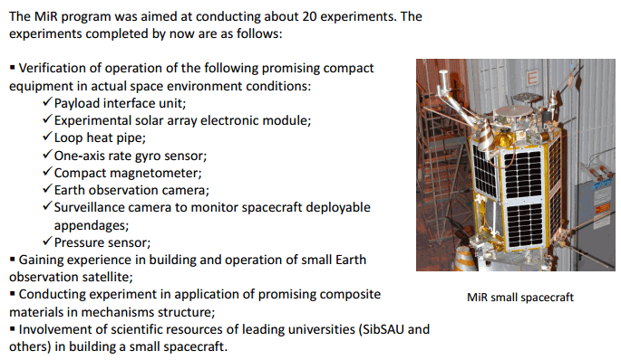
The Yubileiny-2 experimental micro-satellite, later known as MiR, was designed for remote-sensing of the Earth among its goals. It was expected to be used for educational student projects. Siberian State Aerospace University, SibGAU, supplied key systems for the satellite, employing its students in various stages of the development process. SibGAU developed a laser reflector, the main payload control unit, a power supply unit, two small web cameras, remote-sensing camera for the satellite.
Downlink
435.265 MHZ (TXA) und 435.365MHz (TXB) CW und FM (Data)
Status
nicht aktiv
Orbital Parameter
NORAD                   38735
COSPAR designator       2012-041-C
Inclination             82.473
RA of A. Node           310.729
Eccentricity            0.0016931
Argument of Perigee     339.147
Revs per day            12.42559042
Period                  1h 55m 53s (115.88 min)
Semi-major axis         7 874 km
Perigee x Apogee        1 482 x 1 509 km
BStar (drag term)       0.000100000 1/ER
Mean anomaly            20.892

CW Telemetrie
Name    Decoding parameters      Assignment of parameters
------------------------------------------------------------------
RS 40                            Callsign
UBS     U=N * 0.1 Volts          On board voltage
IBS     I=N * 0.01 Amp           On board current
USUN    U=N * 0.1 Volts          Charge voltage from solar array
ISUN    I=N * 0.01 Amp           Charge current from solar array
ITXA    I=N * 0.01 Amp           DC Current of the 435 MHz Tx A
ITXB    I=N * 0.01 Amp           DC Current of the 435 MHz Tx B
TTXA    T=N-128 °C               Temperature of the 435 MHz Tx A
TTXB    T=N-128 °C               Temperature of the 435 MHz Tx B
TNAP    T=N-128 °C               Temperature of the navigation unit
TAB     T=N-128 °C               Temperature on board battery
MSEP    Table of operational modes of the power supply
MCON    Table of operational modes of the controller
SMA     Table of operational modes of channel A
SMB     Table of operational modes of channel B
MRXA    Table of operational modes of Rx A (435.315 MHz)
MRXB    Table of operational modes of Rx B (435.215 MHz)
RS 40                             Callsign
Datenübertragung
Modulation PM Manchester kodiert 4800 kbit/s (FM) 1136 bytes frame length
Ein kompletter Übertragungszyklus besteht aus 256 Frames inkl. Syncword und Framecounter. Ein kompletter Telemetriesatz besteht aus 128 x 256 Bytes (Daten aus 2 Rahmen).


08.09.2013: telemetry channel (byte #81)
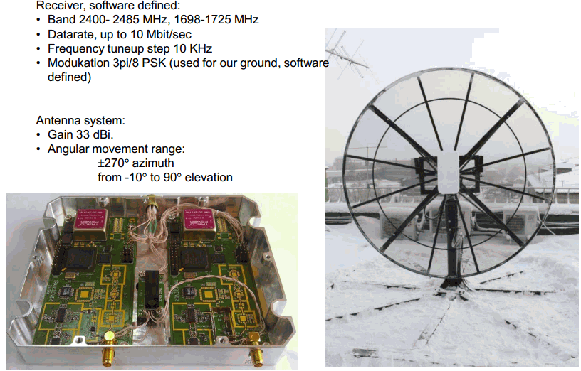
Nur im Bereich der Kommandostation aktiv. Die Übermittlung der wissenschaftlichen Meßdaten von RS-40-M findet außerhalb des Amateurfunkbereiches im S-Band auf 2270 MHz statt. Die primäre S-Band Tracking Station befindet sich in Krasnoyarsk.

Launch

weitere Informationen
http://www.russianspaceweb.com/yubileiny.htmlhttps://directory.eoportal.org/web/eoportal/satellite-missions/v-w-x-y-z/yubileiny-2
